| Name | Last modified | Size | Description | |
|---|---|---|---|---|
| Parent Directory | - | |||
| vicinity36x48_port_20230825_1517_SmithRiverCxNorth_CASRF000968_0825day_opt.pdf | 2023-08-25 19:43 | 13M | ||
| trans_arch_c_port_20230825_0903_SmithRiverCxNorth_CASRF000968_0825day.pdf | 2023-08-25 11:03 | 1.6M | ||
| pio_85x11_land_202308254_0905_SmithRiverCxNorth_CASRF000968_0825day.pdf | 2023-08-25 12:23 | 3.6M | ||
| ops_arch_e_port_20230825_0859_SmithRiverCxNorth_CASRF000968_0825day.pdf | 2023-08-25 11:02 | 35M | ||
| ops_Tile_arch_e_port_20230824_2246_SmithRiverCxNorth_CASRF000968_0825day.pdf | 2023-08-25 00:55 | 22M | ||
| iap_11x17_land_20230824_2215_SmithRiverCxNorth_CASRF000968_0825ay.pdf | 2023-08-25 00:42 | 1.8M | ||
| brief_36x48_land_20230825_1726_SmithRiverCxNorth_CASRF000968_0825day.png | 2023-08-25 19:38 | 134M | ||
| airops_arch_e_port_20230824_2220_SmithRiverCxNorth_CASRF000968_0825day.pdf | 2023-08-25 00:37 | 3.7M | ||
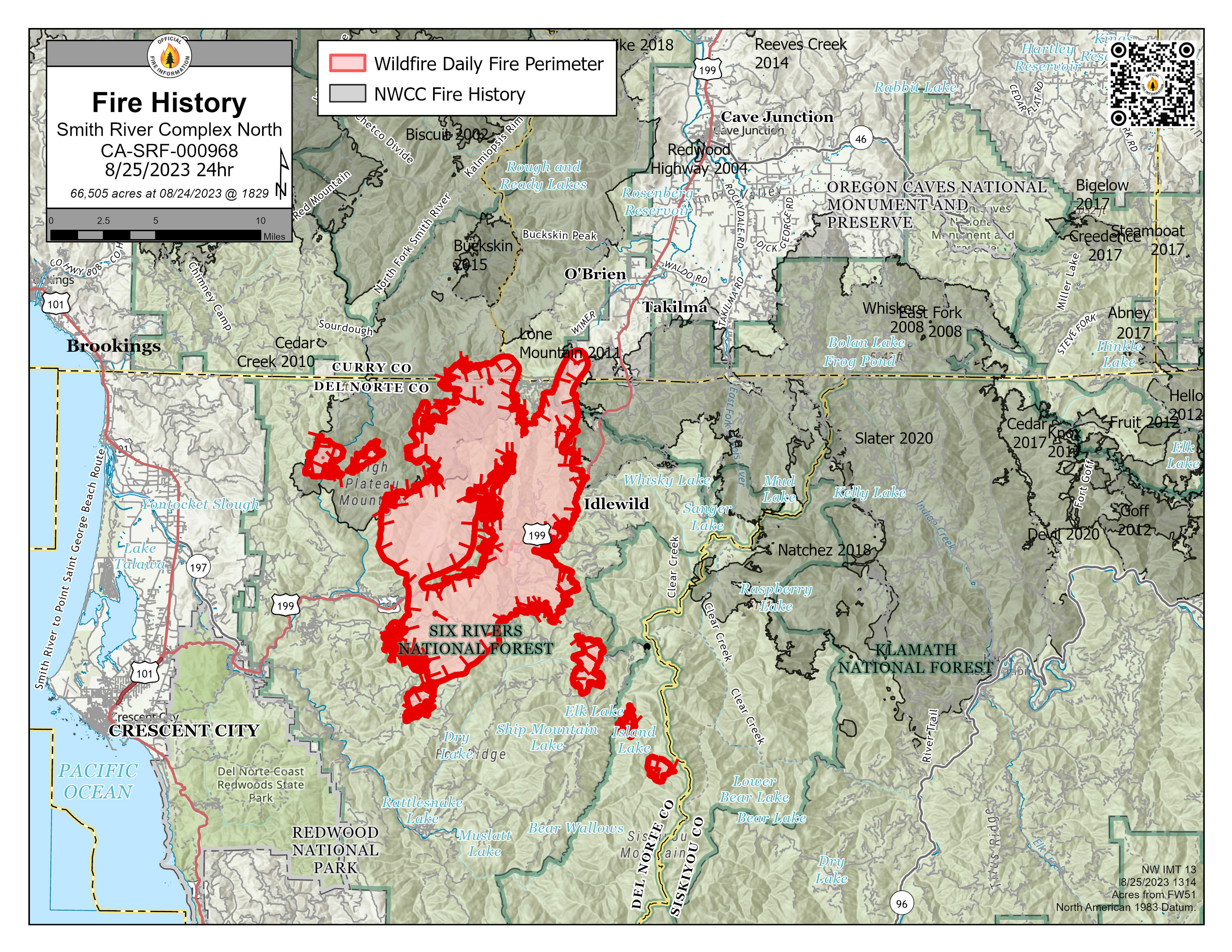
| FireHistory_85x11_Land_SmithRiverCxNorth_CASRF000968_0825day.jpg | 2023-08-25 15:15 | 1.4M | ||