| Name | Last modified | Size | Description | |
|---|---|---|---|---|
| Parent Directory | - | |||
| DIVF_ISBCdozer_11x17_AKMID_Stuart_Creek_2.pdf | 2013-07-19 17:05 | 1.5M | ||
| AK_trans_8x11_AKMID_StuartCreek2_20130719day.pdf | 2013-07-19 04:38 | 524K | ||
| AK_pio_8x11_port_Stuart_Creek_2_AKMID280.pdf | 2013-07-19 04:38 | 3.5M | ||
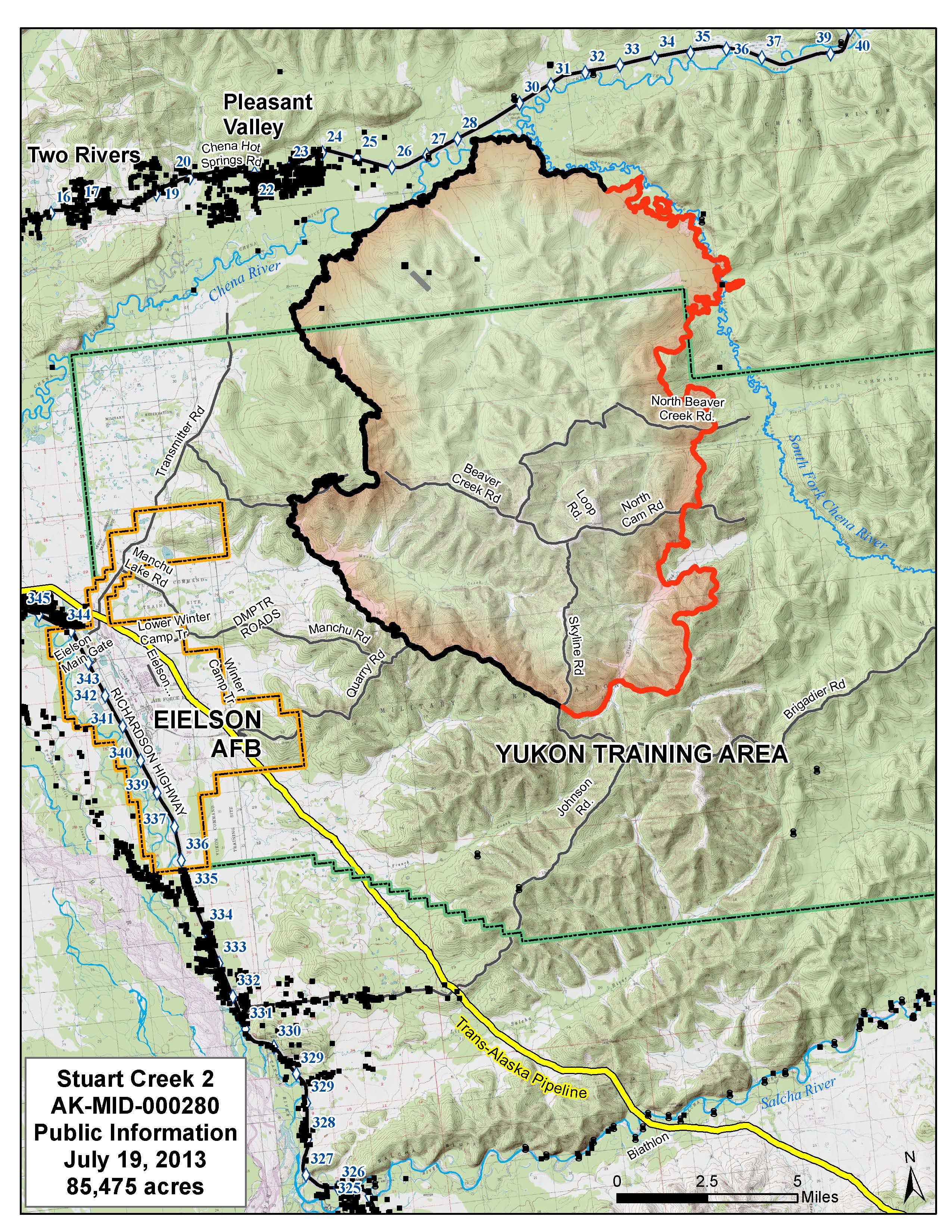
| AK_pio_8x11_port_Stuart_Creek_2_AKMID280.jpg | 2013-07-19 04:38 | 1.3M | ||
| AK_IAP_20130718_2100_AKMID_Stuart_Creek_2_iap_11x17_20130719day.pdf | 2013-07-19 04:38 | 5.8M | ||
| AK_AirOps_20130718_2100_AKMID_Stuart_Creek_2_11x17_port_20130719day_binder.pdf | 2013-07-19 04:38 | 6.1M | ||
| 20130719_TAKE2_AK_ops_ansi_e_port_2013_Stuart_Creek_2_AKMID280_optim.pdf | 2013-07-19 04:38 | 5.9M | ||
| 20130719_Stuart_Creek_2_FirePerim_FirePoints.kmz | 2013-07-19 04:38 | 297K | ||